Philadelphia map poster
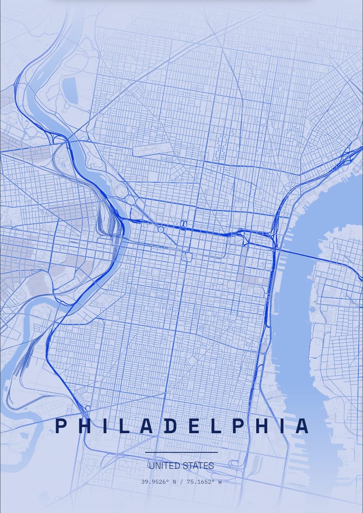
William Penn's grid runs between the Delaware and Schuylkill rivers, with City Hall at the centre of the plan.
- Theme: Monochrome Blue, or pick from 50+ others
- Print sizes up to 100 cm with a live DPI readout
- PNG, print-ready PDF and layered SVG export
- Change the text, map layers and markers
- Monochrome Blue theme: palette and example posters
About the Philadelphia map poster
Philadelphia, United States, is a city of planned order, and the map is almost like a drawing board. The original grid lies between the Delaware and the Schuylkill, with City Hall in the centre where the main streets cross, and small squares sit in each quarter around it. Independence Hall and the Old City sit toward the Delaware, and Camden lies across the water, linked by the Benjamin Franklin Bridge. The Benjamin Franklin Parkway cuts a diagonal from City Hall to the Philadelphia Museum of Art, and Fairmount Park spreads out along the Schuylkill with Boathouse Row on the river.
How to make your Philadelphia poster
- Open the Philadelphia design: the map is already centred on the city in the Monochrome Blue theme.
- Change the theme, title and text, switch map layers on or off, and add your own markers.
- Pick a paper size and export a PNG, a print-ready PDF or a layered SVG.
Print sizes and file formats
Export sizes go up to 100 cm, with a live DPI readout so you can check the resolution before printing. The map is drawn from OpenStreetMap data, so every street, park and shoreline is the real layout of Philadelphia.
Frequently asked questions
- Can I change the text on the Philadelphia poster?
- Yes. The title, subtitle and coordinates line are all editable, so the poster can show Philadelphia, a neighbourhood or a personal message.
- Which theme does the Philadelphia example use?
- The Monochrome Blue theme. It is only a starting point: any theme can be applied, and colours can be adjusted.
- Can I make a poster of another place in United States?
- Yes. Search any city, address or landmark in the editor and the map recentres there.
More map posters of United States
More city map posters
- London
- Istanbul
- Berlin
- Paris
- New York
- Tokyo
- Rome
- Barcelona
- Amsterdam
- Vienna
- Prague
- Lisbon
- Madrid
- Moscow
- Dubai
- Mumbai
- Singapore
- Sydney
- San Francisco
- Chicago
- Rio de Janeiro
- Buenos Aires
- Cairo
- Seoul
- Mexico City
- Hamburg
- Izmir
- Venice
- Copenhagen
- Stockholm
- Athens
- Budapest
- Cape Town
- Hong Kong
- Vancouver
- Kyoto
- Edinburgh
- Florence
- Dublin
- Oslo
- Helsinki
- Lyon
- Naples
- Bangkok
- Shanghai
- Toronto
- Washington, D.C.
- Reykjavik
- Porto
- Kuala Lumpur
- Munich
- Brussels
- Milan
- Zurich
- Geneva
- Warsaw
- Krakow
- Marrakech
- Abu Dhabi
- Delhi
- Taipei
- Beijing
- Osaka
- Hanoi
- Ho Chi Minh City
- Melbourne
- Auckland
- Lima
- Bogota
- Santiago
- Montreal
- Boston
- Los Angeles
- Seattle
- Miami
- Tallinn
- Valencia
- Seville
- Frankfurt
- Cologne
- Rotterdam
- Bucharest
- Belgrade
- Tbilisi
- Doha
- Baku
- Kolkata
- Jakarta
- Manila
- Busan
- Hiroshima
- Perth
- Wellington
- Brisbane
- Havana
- Montevideo
- New Orleans
- San Diego
- Valletta
All city posters · Open the poster editor · How to make a map poster